-
-
About Union
Geographical & Economic
History & Culture
Other
-
Union Parishad
Union Council
Activities of Union Council
Village Adalat
The information is helpful
-
Govt. Office
Agriculture
Land
Health Services
Social Service
-
Other Institutions
Educational Instiutions
Organizations
-
Different List
List Of Beneficiaries
- Projects
-
Services
ইউ.ডি.সি
National E-Service
- Gallery
-
-
About Union
Geographical & Economic
History & Culture
Other
-
Union Parishad
Union Council
Activities of Union Council
Village Adalat
The information is helpful
-
Govt. Office
Agriculture
Land
Health Services
Social Service
-
Other Institutions
Educational Instiutions
Organizations
-
Different List
List Of Beneficiaries
- Projects
-
Services
ইউ.ডি.সি
National E-Service
-
Gallery
Photo Gallery
Video Gallery
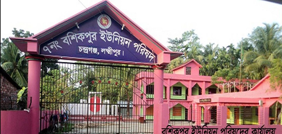
Union at a Glance: Bashikpur Union is located in the northern part of Laxmipur under Sadar upazila of Laxmipur district. This northern region of Laxmipur Sadar Upazila is well known as the grazing land of the war of liberation. The union is a traditional union with an area of 14 sq km and a population of about 47,000. Most of the roads are paved. There are 19 villages in Bashikpur union and it is divided into 9 wards. There are 561 houses and 8 houses. Out of 19 villages of the union, Bashikpur village is bigger than all other villages and hence it has been named as Bashikpur Union. It is believed that this grazing land was born in 1420 and developed as a place suitable for human movement and habitation.
B) Geographical location of the union:
Mandari Union on the south, Laxmipur district on the southwest, Chandpur Meghna river on the west, Ramganj upazila on the north, Chatkhil upazila on the northeast and Noakhali district on the east. A large canal flowing over Poddar Bazar in the middle of the Union.
C) Area of Union:
৭ The area of Nangbashikpur Union is 14 sq km.
D) Number of households in the union - 6, population - 47,000 (as of 2012), total voters - 20,000.
E) Road area 105 km.
F) Total amount of land: 3600 acres, amount of cultivable land: 2693 acres.
G) Number of villages: 19
Such as:
Nandigram, Bara Rashidpur, West Sherpur, Balashpur, Ramnagar, Rokanpur, Shibrampur, Rishiarkandi, Birahimpur, Fateh Dharmapur, Madanpur, Alampur
Bashikpur, Durgadaspur, Khodawandpur, Kashipur, Anandipur, Junudpur, East Sherpur.
G) Wards: 9
H) Communication system:
29,000 km of paved roads.
69,000 km of unpaved roads.
I) Places of interest: Poddar Bazar Bhai Bhai Shopping Complex.
J) Hat Bazar:
1. Poddar Bazaar.
2. Patwari Hat.
3. Imamganj Nag Hat.

Planning and Implementation: Cabinet Division, A2I, BCC, DoICT and BASIS


